FYI
From: bsa.communications@scouting.org [mailto:bsa.communications@scouting.org]
Sent: Wednesday, October 14, 2009 1:18 PM
Subject: BSA Must Read: National Executive Board News
This is an official BSA Demand-based Communication.
To: Scout Executive
CC: Assistant Regional Directors;regional directors;Area- Directors;Wayne Brock;Group Directors;Al Kugler;James J Terry;Richard Mathews
From: Robert Mazzuca
--------------------------------------------------------------------------------
BSA Must Read: National Executive Board News
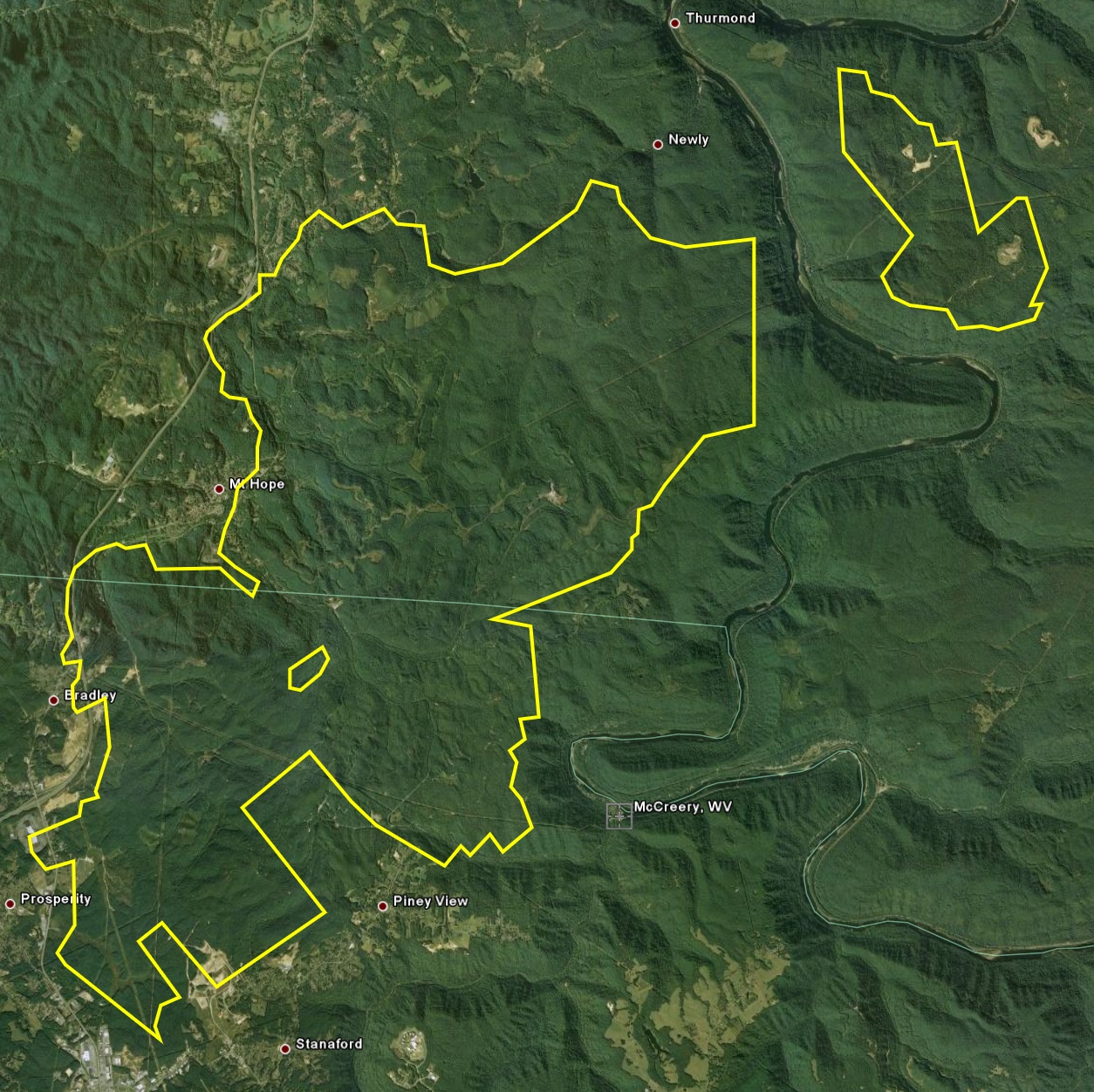
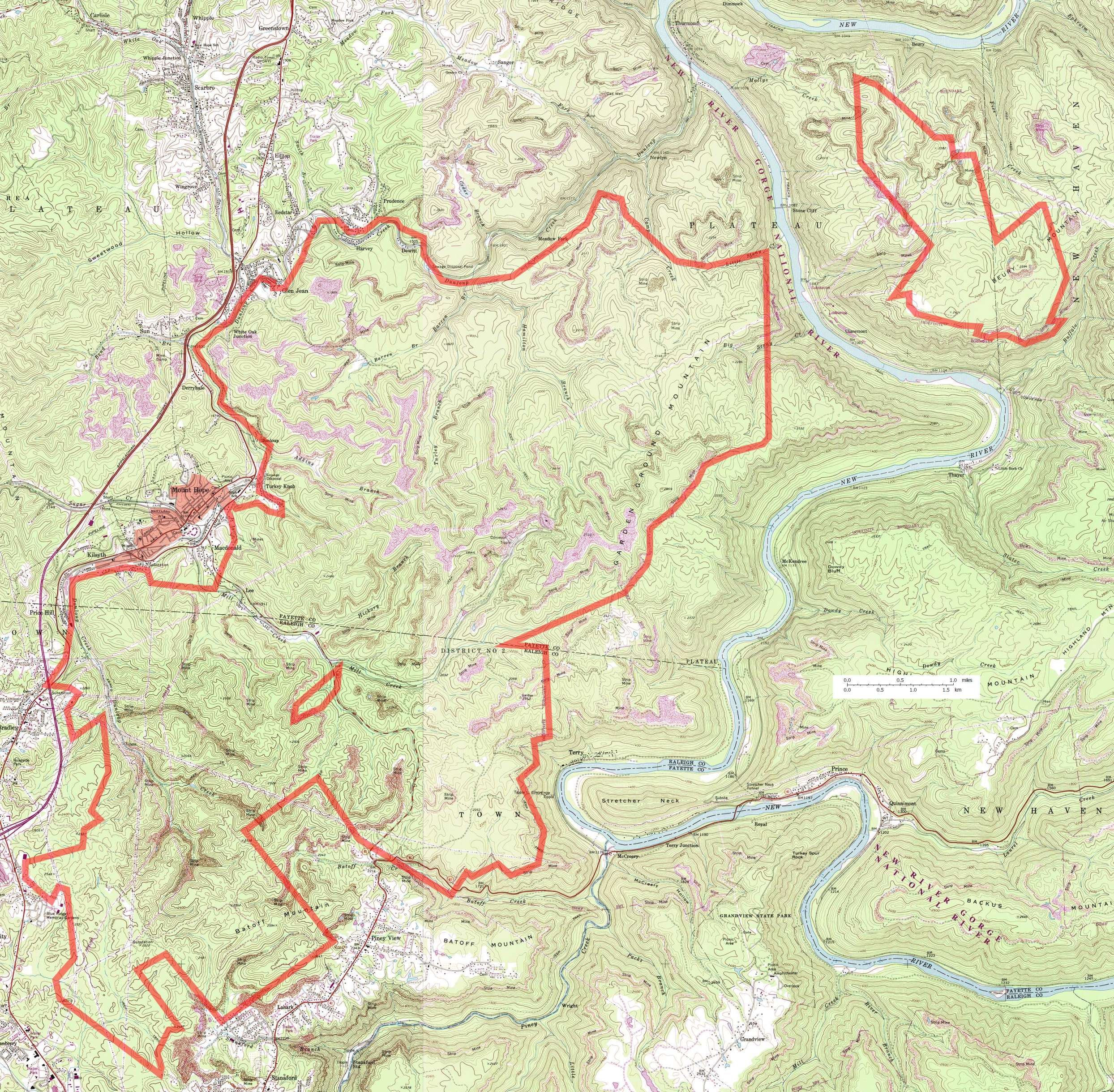
I am writing to share some exciting news. Today, our National Executive Board took another significant step toward establishing a permanent home for future national jamborees and creating another premier outdoor adventure Scouting site. The board approved the purchase of more than 10,000 acres of some of the most spectacular land you've ever seen. It's located in the New River Gorge area of West Virginia-an area that offers some of the best rock climbing, whitewater rafting, and mountain biking anywhere in the country. It is a perfect site for the full complement of activities we intend to offer at our new facility: extreme sports, leadership training, camping, high adventure-anything you can imagine doing in the great outdoors, and, of course, the national jamboree.
We still have a lot of work to do, but under Jack Furst's tremendous leadership, we are well on our way toward going from vision to reality. As Jack said to board members, "We are only limited by our own creativity and ingenuity." And as we know, with Jack at the helm, that means there are no limits to what we can accomplish through this effort.
Stay tuned for further details and a formal unveiling of our plans in November. Until then, my sincerest thanks to the team for its tireless efforts in bringing this exceptional opportunity to our Scouting family. It is, truly, one of the best investments we will make in serving Scouts for the next 100 years.
MeritBadge.Net
The Scouting Discussion Network